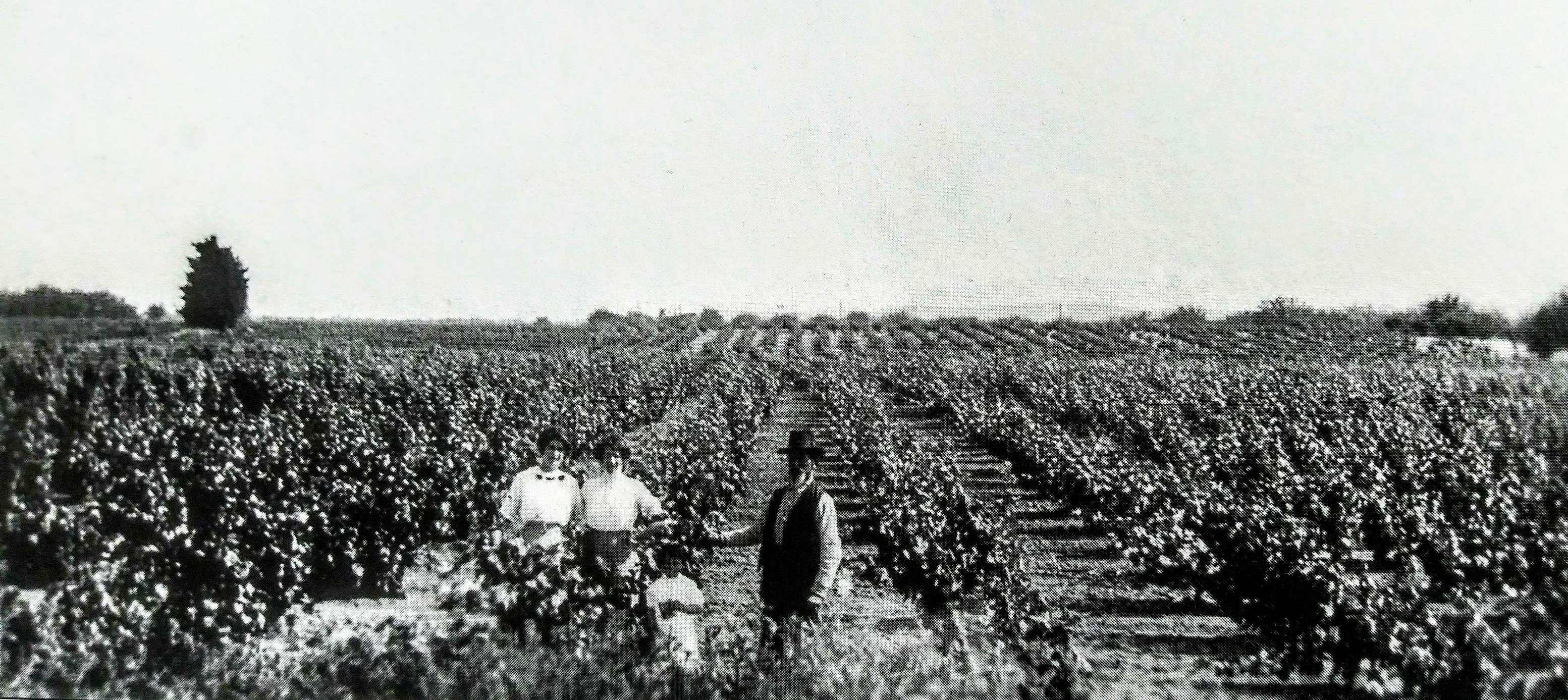
I was doing some “research” on eastern Contra Costa County’s grapegrowing history and found a book mentioning a gentleman named Joseph Ruckstuhl.
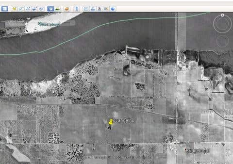
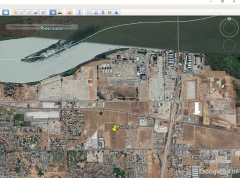
In the early 20th Century, Joseph Ruckstuhl owned one of the largest vineyards in the area. This property was located North of “Old Highway 4” and East of Bridgehead Road. The book states that the site was eventually sold to the DuPont Company.
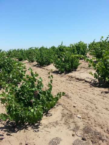
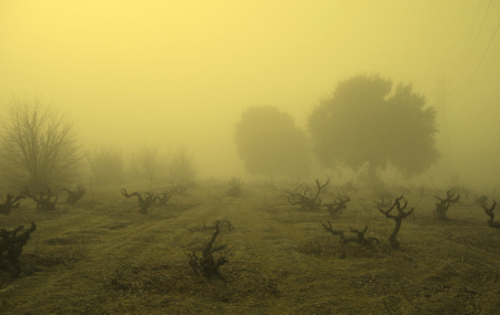
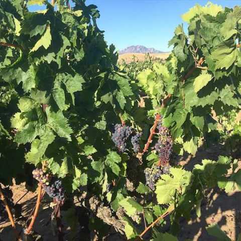
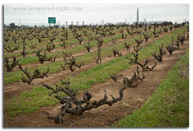
Cline Family Cellars owns the surviving old-vine plantings surrounding Oakley’s old DuPont facility (“Big Break Vineyard” & “Bridgehead Vineyard”).
However, I presumed that Old Highway 4 referred to Oakley Road, which would indicate that the “Ruckstuhl Vineyard” occupied what now is the “Continente Vineyard”, the vineyards of the DuPont site, and/or other parcels of century-old vines.
Does anyone know the truth of this matter?
Can anyone tell me where “Old Highway 4” runs?
*** EDIT ***
I found some additional information on the Ruckstuhl family’s property:
Google Books
Images of America: Antioch
Antioch Historical Society
C. Bohakel, P. Hiebert, E. Rimbault, & C.A. Davis
Acadia Publishing, 2005
Internet Archive
Pacific Wine & Spirit Review, Vol 51
Nov. 30, 1908 - Oct. 31, 1909
“Oakley”
According to a 1908/1909 copy of the Pacific Wine & Spirit Review, Joseph Ruckstuhl of Oakley harvested 80 tons of grapes.
In a follow-up thread post, more details are shared about late 19th Century grape-growing in Antioch and Oakley. Parcels owned by the Ruckstuhl, Viero, and Trembath families are identified on an 1892 map detail of eastern Antioch/western Oakley.
California Revealed
Collection: “Contra Costa County Historical Society”
“Contra Costa County Tax Assessor’s Maps”
All Parcel Maps:
“Contra Costa County (Calif.). Assessor’s Deputies”
Antioch/Oakley Maps
*** EDIT ***
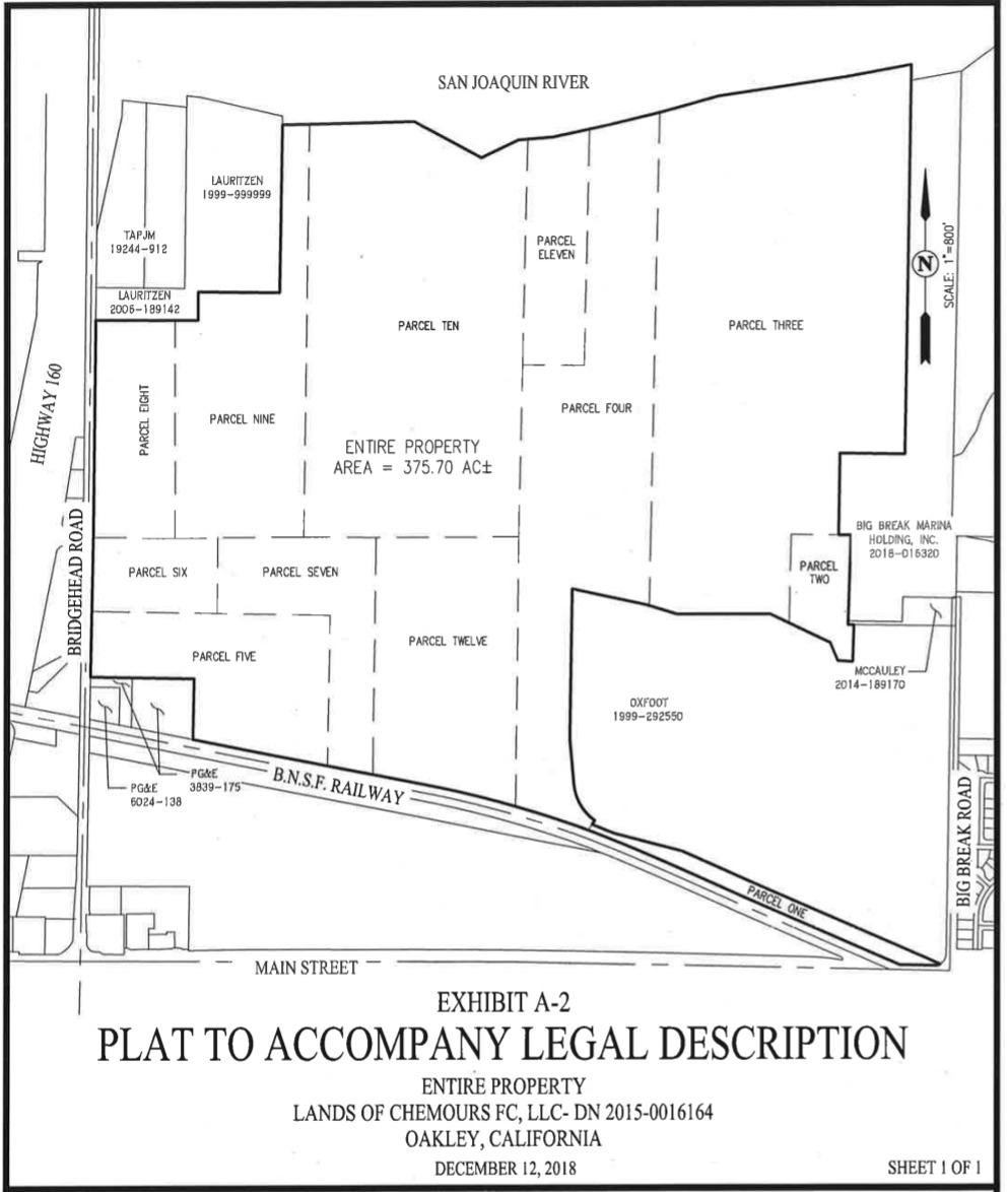
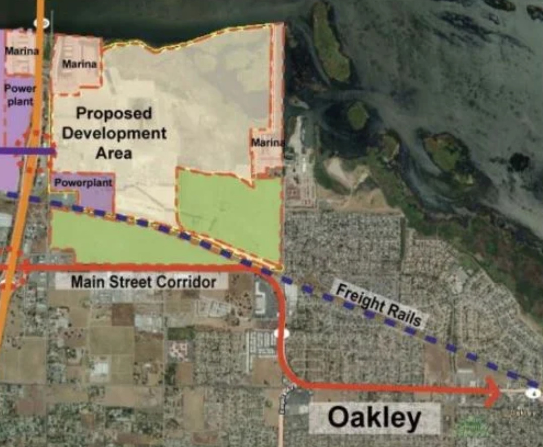
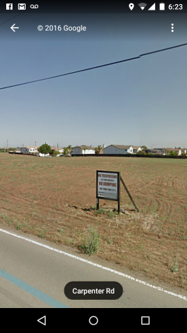
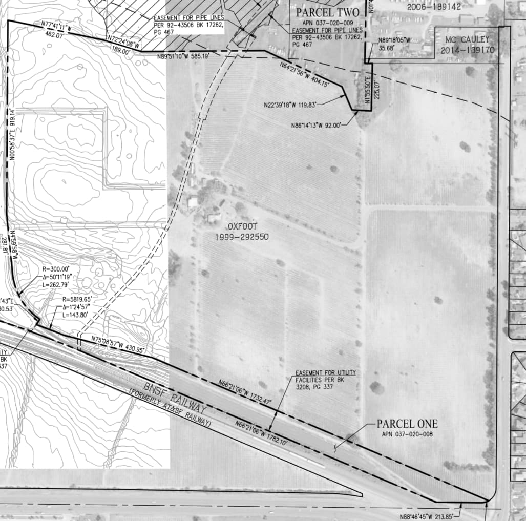
The December, 2020, City of Oakley’s plan for construction of the Logistics Development, just to the South of Big Break Regional Shoreline, includes the December 12, 2018, Job #1073-010, legal description of several historic land parcels in NW Oakley. Included are the “Ruckstuhl Parcel”, the “Miller Parcel”, the “Biancalana Parcel”, etc:
“Exhibit A-1 - Legal Description of the Entire Property: Lands of Chemours Company FC, LLC, Document No. 2015-0016164, Oakley, California” (PDF download)
Contra Costa County Historical Society website:
http://www.cocohistory.com/
Antioch Historical Museum website:
https://www.antiochhistoricalmuseum.org/
Contra Costa Interactive Map website:
https://ccmap.cccounty.us/Html5/index.html?viewer=CCMAP
Antioch Prospector website
Antioch Interactive Map
University of Texas at Austin
GeoData Library
Contra Costa County Maps
Note: A book exploring Oakley’s recent history was published by Carol Ann Jensen of the East Contra Costa Historical Society & Museum in Knightsen.
Google Books
Oakley Through Time
by Carol Ann Jensen
Published by America Through Time, 2019
112 pages