They banged on the door at 10:30 at night! I did not answer. It does not make sense to me that Solage (less than a mile from me on flat ground) is doing a whopping business and I am not allowed to be on my property? I am close to harvest, and unless I sense danger, I am not going anywhere.
Yup I get it. I was very frustrated the other day when we got zero air support for the lower valley (we are in Coombsville). They only brought in the tankers when the fire started moving toward Vacaville and then it was too late for those folks. They closed Route 80 and I believe 50 homes were lost in Vacaville.
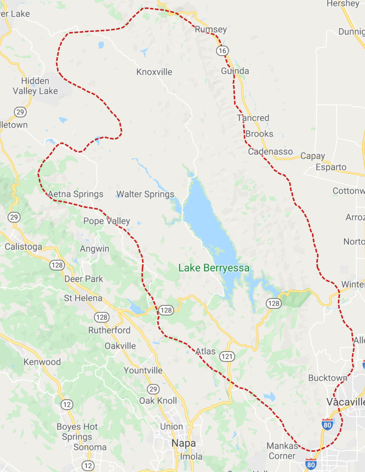
Google is mapping the perimeters of the CA fires using satellite data (IR, etc.). They update the maps hourly. Type into the search field LNU fire (Hennessy, etc.), CSU fire, or CZU fire. You can switch from map view to satellite view. Below is a snip from the LNU map.